
Master's Degree in Geospatial Sciences
Degree: Master of Science
Major: Geospatial Sciences
Hours: 30 (thesis), 36 (non-thesis)
Degree Description
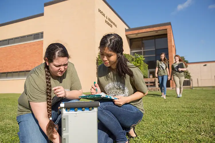
The Lamar University Master of Science in Geospatial Sciences program is designed to provide education in all key areas of geospatial technologies most relevant to contemporary workplace, including computer-based geographic information systems, remote sensing techniques, Drone technology, digital image processing, spatial analysis and modeling, global positioning systems and data science in the big data era. You may earn this degree through the thesis option or non-thesis option.
Why Study Geospatial Sciences at Lamar?
Our program is the first of its kind in Southeast Texas. This program is open to all students of any discipline. The field of geospatial sciences has become an integral aspect for supporting decision making in a variety of fields such as physical and environmental sciences, urban planning and management, political science, civil engineering, economy, business, real estate, education administration and health care.
Career Paths
This program will help you continue into post-graduate studies in geospatial sciences. It can also give you an advanced exposure to geospatial sciences, additional training to resume or change careers or additional preparation to purse professional students in the earth sciences.
Primary Careers
Analyst, geospatial architect, GIS specialist, planning technician, environmental geospatial scientist
- Lab specialties
- Research
- Education
- Analysis and consulting
- Schools and universities
- Laboratories
- Government agencies
- Non-profit research groups
- Environmental companies